Stay Afloat with These 9 Must-Have Boating Apps

Set sail into the digital age with our handpicked selection of these must-have boating apps for 2024! These essential tools are designed to navigate you through everything from chart plotting to weather forecasting, ensuring that every voyage is as smooth as the calmest sea. Whether you're anchoring near a secluded island or cruising the open waters, these apps will keep you afloat, informed, and in control. Ready your sails and discover how technology can make your boating adventures safer, more enjoyable, and absolutely unforgettable!
Navionics
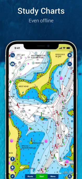
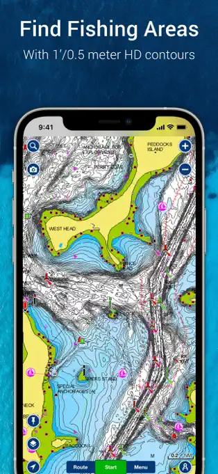
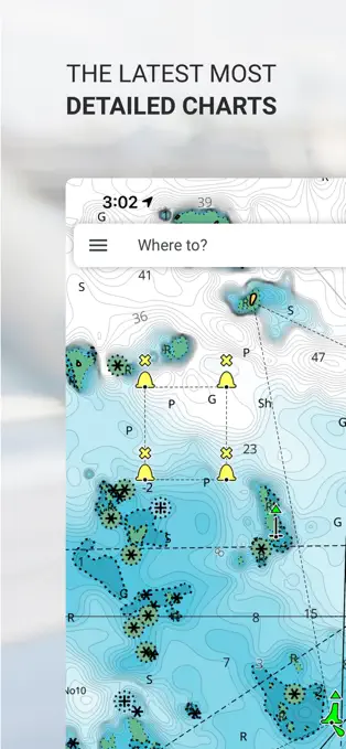
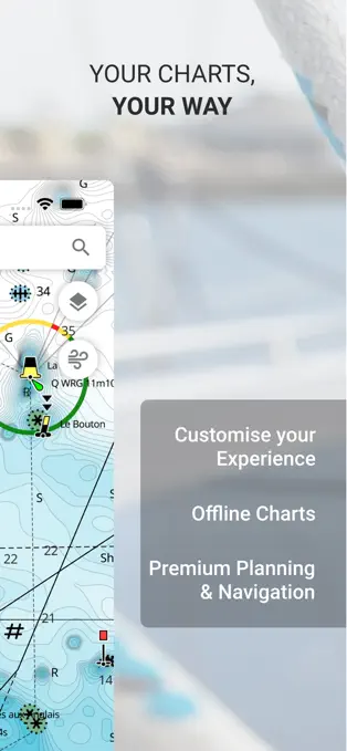
Navionics is a leading marine navigation app that revolutionizes the boating experience by offering detailed nautical charts for oceans, bays, and lakes worldwide. With features like dock-to-dock auto-routing, chart updates, and real-time weather data, Navionics caters to both amateur and seasoned mariners. The app is compatible with iOS and Android platforms, ensuring wide accessibility for boaters with different devices.
Key Features:
- Comprehensive Chart Coverage: Access to an extensive range of charts for various water bodies.
- Dock-to-Dock Auto-routing: Automated routing suggestions from your current location to your destination.
- Community Edits: Users can contribute updates and corrections to the charts, enhancing accuracy.
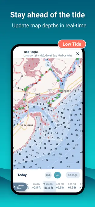
- Weather & Tides: Real-time weather data, including forecasts and tidal information.
Advantages:
- Global Chart Coverage: Helps mariners navigate safely with charts covering most of the world's water bodies.
- User-Friendly Interface: Easy to navigate and use, making marine navigation accessible to all levels of boaters.
- Regular Updates: Charts and software are updated regularly to ensure the most current information is available.
- Integration with Onboard Systems: Can sync with compatible WiFi-enabled chartplotters for a more integrated navigation experience.
Disadvantages:
- Subscription Cost: While the app offers a free trial, continued use requires a subscription, which might be a barrier for some users.
- Complexity for Beginners: The extensive features and detailed charts may overwhelm new users.
- Dependence on Internet Connection: For real-time features and updates, a stable internet connection is required, which might not be available in all boating locations.
iNavX
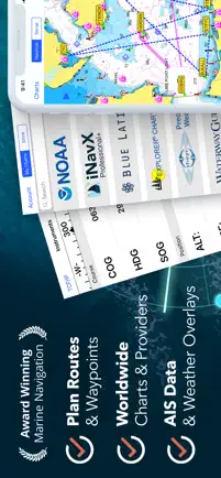
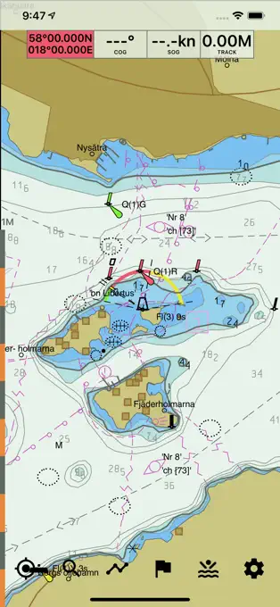
iNavX is a comprehensive marine navigation app that transforms your iOS device into a powerful chartplotter. Offering a vast selection of charts from top providers, advanced waypoint management, and support for various external accessories, iNavX is designed to elevate the sailing experience. It is available exclusively for iOS, catering to iPhone and iPad users.
Key Features:
- Wide Range of Charts: Access to NOAA, Navionics, and other charting options.
- Advanced Waypoint Management: For precise route planning and tracking.
- AIS Support: Ability to view AIS data for nearby vessel traffic (with appropriate equipment).
- External Hardware Integration: Supports connection with external GPS, AIS receivers, and other accessories for enhanced navigation.
Advantages:
- Comprehensive Chart Options: Enables users to choose the best charts for their navigation needs.
- High Customizability: Personalize navigation data and displays to suit individual preferences.
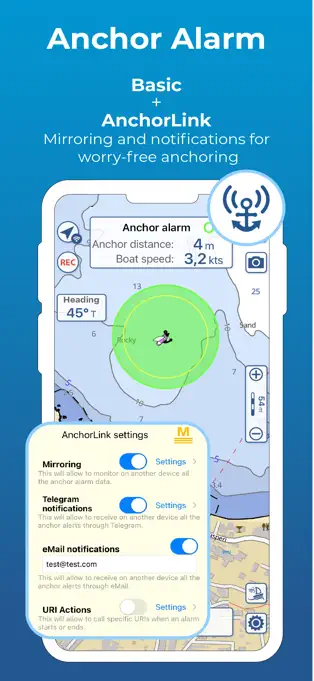
- Robust Toolset: Offers tools for weather forecasting, tides, currents, and anchor alarm.
- Exclusive to iOS: Optimized performance and integration for Apple devices.
Disadvantages:
- iOS Only: Limits availability to users of Apple devices, excluding Android users.
- Cost: The app purchase cost, along with potential expenses for chart subscriptions and in-app purchases, can add up.
- Learning Curve: The depth of features and options might require a significant time investment to master fully.
Aqua Map
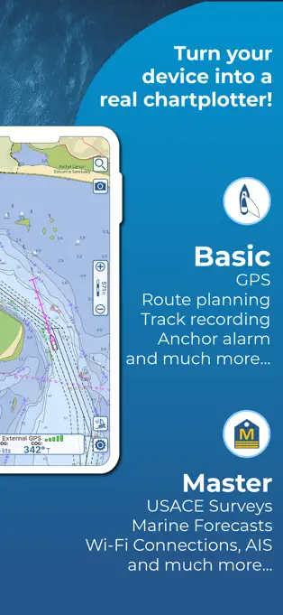
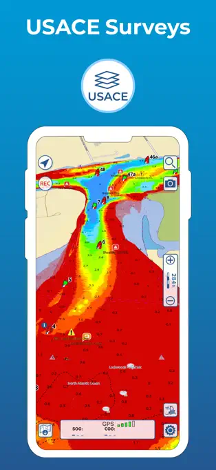
Aqua Map is a user-friendly marine navigation app tailored for iOS devices, focusing on providing reliable chart access, customizable features, and integrating USACE (United States Army Corps of Engineers) data. Designed to enhance the experience of boaters navigating the Intracoastal Waterway (ICW) or undertaking the Great Loop, Aqua Map facilitates offline chart access, making it an essential tool for sailors and adventurers. The app is predominantly targeted at iPhone users but offers features that cater to a broad audience within the boating community.
Key Features:
- Offline Chart Access: Ensures navigation without the need for an internet connection.
- Customizable Maps: Users can tailor the maps to highlight the features most relevant to their journey.
- Integration of USACE Data: Offers detailed information about waterways managed by the USACE, invaluable for planning.
- User-Friendly Interface: Designed for ease of use, making it accessible to boaters of all skill levels.
Advantages:
- Designed for ICW Travelers: Offers specialized features for those navigating the ICW or attempting the Great Loop.
- Offline Capability: Allows users to navigate confidently without relying on a continuous internet connection.
- Customization Options: Enhances the user experience by allowing boaters to adjust map details to their preferences.
- Comprehensive Coverage: Incorporates a wide range of data, including charts and USACE information, for thorough navigation planning.
Disadvantages:
- Primarily for iOS: While it offers great features for iPhone users, availability may be limited for Android users.
- Subscription for Full Features: Some of the app's more advanced features require a subscription.
- Focused on Specific Regions: While it's excellent for ICW and Great Loop travelers, users in other areas may find it less applicable to their needs.
Wavve Boating
Wavve Boating is a comprehensive boating app designed for both iOS and Android platforms, making it accessible to a wide range of boaters. It emphasizes ease of use, with a user-friendly interface that simplifies navigation and ensures a safe boating experience. Wavve Boating stands out for its innovative approach to marine navigation, offering features like customizable charts that highlight only the information most relevant to the user’s journey and a social aspect that allows boaters to share their locations and experiences.
Key Features:
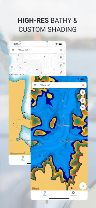
- Customizable Nautical Charts: Tailor your maps to display only the information you need.
- Social Sharing: Connect with friends on the water by sharing your location and favorite spots.
- Hazard Highlights: Proactively identifies potential dangers to help you navigate safely.
- User-Friendly Interface: Designed for ease of use, regardless of your boating experience level.
Advantages:
- Social Connectivity: Enhances the boating experience by making it easy to connect with others.
- Safety Features: Highlights potential hazards, contributing to safer navigation.
- Ease of Use: The intuitive design makes navigation simple for boaters of all skill levels.
Disadvantages:
- Subscription Model: Some features require a subscription, which might not appeal to all users.
- Data Dependence: The social and hazard features rely on user contributions, which may vary in accuracy and completeness.
C-Map
C-Map is a versatile marine navigation app available on Android devices, known for its detailed vector maps that provide seamless zooming and customizing experiences. It’s tailored to meet the needs of boaters seeking smooth navigation, updated maps, and access to boating hotspots. C-Map distinguishes itself with its clutter-free interface that, once adjusted from its default settings, offers an uncomplicated navigation experience filled with essential features.
Key Features:
- Vector Maps: Easy zooming and customizing for optimal navigation.
- Layer Adjustments: Customize the map view to reduce clutter and enhance readability.
- Updated Maps and Hotspots: Regular updates ensure accurate navigation and discovery of new spots.
- Smooth Navigation: Provides a streamlined experience from planning to execution.
Advantages:
- High Customizability: Allows for a personalized mapping experience.
- Up-to-Date Information: Frequent updates keep the maps and points of interest current.
- Optimized for Android: Tailored experience for Android device users, ensuring smooth operation.
- User-Friendly: Designed for ease of use without sacrificing depth of features.
Disadvantages:
- Initial Adjustment Required: The default settings may need tweaking for optimal use.
- Platform Specific: Primarily designed for Android, which may limit its appeal to iOS users.
Seapilot
Seapilot is a professional marine navigation app that caters to sailors with at least a modest level of experience. It offers a detailed map based on merchant shipping standards and includes comprehensive features designed to make travel safe and efficient. Seapilot is available for both iOS and Android platforms, providing a wide range of functionalities to ensure accurate and reliable navigation. Its professional-grade tools and detailed maps make it a solid choice for serious mariners looking to plan and execute their voyages with precision.
Key Features:
- Professional-Grade Maps: Detailed charts that include depth and critical points like ports or fuel stations.
- Safety Line Setup: Configurable safety lines to assist in route planning and avoidance of dangers.
- Weather Updates: Regular updates on weather conditions to ensure safe sailing.
- Dark Mode: An elegant interface option that enhances visibility in various lighting conditions.
Advantages:
- Comprehensive Navigation Tool: Offers a suite of features for detailed planning and execution of voyages.
- Adaptable Safety Features: The safety line and weather updates contribute to a safer sailing experience.
- Cross-Platform Availability: Accessible on both iOS and Android, appealing to a wide audience.
- Professional-Level Detail: The level of detail in maps and features caters well to experienced sailors.
Disadvantages:
- Learning Curve: Its comprehensive features may be overwhelming for novices.
- Cost: While it offers a trial period, continued use requires payment, which might deter some users.
- Interface Complexity: The depth of features might make navigation through the app's options complex for some users.
Boat Beacon
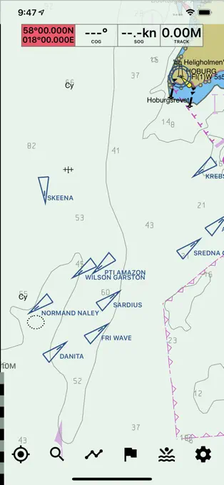
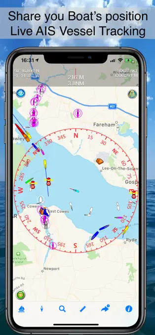
Boat Beacon is an AIS (Automatic Identification System) receiver app that enhances safety on the water by providing real-time information about the boats and ships around you. Available for both iOS and Android, this app is particularly useful for sailors who want to be aware of nearby maritime traffic and potential collision threats. It offers a simple user interface and a set of features designed to keep you informed and safe on your boating adventures.
Key Features:
- Real-Time AIS Data: See positions and details of other ships in real-time.
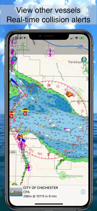
- Collision Detection: Alerts you to potential collision threats.
- Man Overboard (MOB): Quickly mark and navigate back to a MOB location.
- Offline Charts: Access charts even when out of cellular range.
Advantages:
- Enhanced Safety: The collision detection and MOB features contribute to safer boating experiences.
- Ease of Use: A straightforward interface makes it easy to navigate and utilize the app's features.
- Global Coverage: Utilizes a wide network of AIS receivers for comprehensive coverage.
Disadvantages:
- Dependence on Cellular Data: Real-time features require a stable internet connection, which may not be available in remote areas.
- Subscription Cost: Some features may require a subscription, adding to the overall cost of use.
U.S. Coast Guard Mobile App
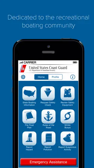
The U.S. Coast Guard Mobile App is a vital tool for boaters in the United States, offering a wide range of features designed to improve safety and compliance on the water. Available on both iOS and Android, this free app provides everything from safety information and regulations to weather updates. It's an essential resource for recreational boaters seeking to stay informed and safe.
Key Features:
- Safety Information: Access to a wealth of safety tips and legal requirements.
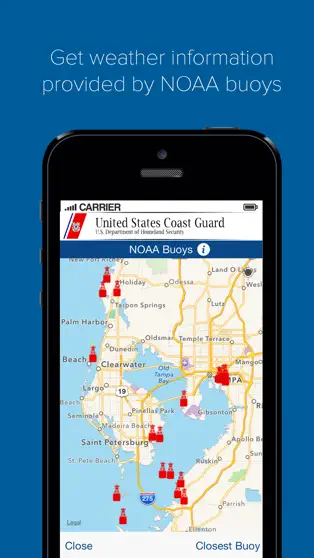
- Weather Updates: Receive the latest weather forecasts and alerts.
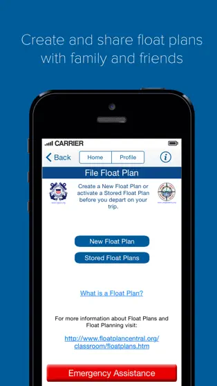
- Float Plans: Easily create and share float plans with friends and family.
- Emergency Assistance: Quickly contact the Coast Guard in case of an emergency.
Advantages:
- Comprehensive Boating Resource: Offers a wide array of information and tools in one app.
- Promotes Safety: Focuses on keeping boaters safe with up-to-date information and direct links to emergency assistance.
- Free of Charge: Provides invaluable resources and peace of mind without any cost.
Disadvantages:
- U.S. Focus: Primarily designed for boaters in the United States, which limits its utility for international users.
- Information Overload: The amount of information and features might be overwhelming for some users.
MyRadar
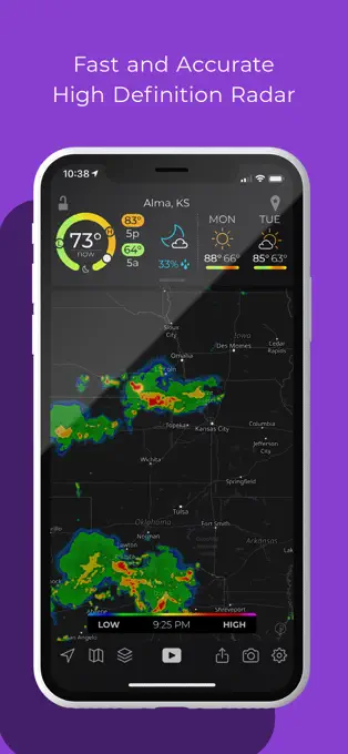
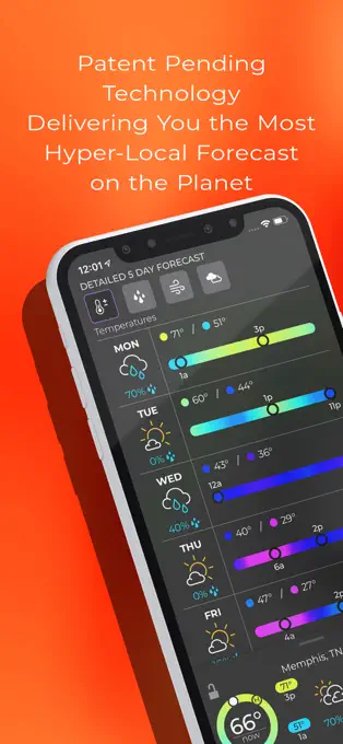
MyRadar is a high-powered weather application that provides real-time weather radar, forecasts, and alerts, making it an excellent companion for outdoor enthusiasts, including boaters. Available on iOS and Android, it allows users to stay ahead of weather conditions with detailed animations and accurate weather updates. Its user-friendly interface and comprehensive weather tracking capabilities make it a favorite among boaters who need to keep an eye on the weather.
Key Features:
- Real-Time Weather Radar: Track weather patterns as they happen.
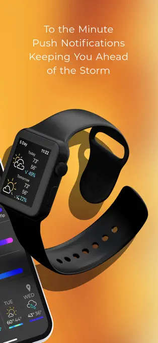
- Weather Alerts: Get notified about severe weather conditions.
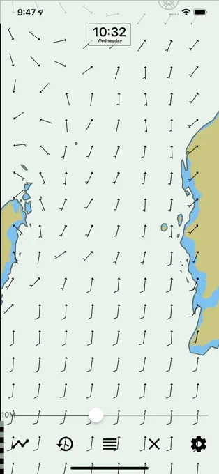
- Wind and Temperature Maps: View detailed maps showing wind speeds and temperature.
- Customizable Radar Layers: Tailor the radar display to show the information most relevant to you.
Advantages:
- Advanced Weather Tracking: Offers detailed and accurate weather information.
- Alerts and Notifications: Helps users prepare for and avoid adverse weather conditions.
- User-Friendly: Easy to navigate and customize according to user preferences.
Disadvantages:
- Ad-Supported Free Version: The presence of ads can detract from the user experience.
- Battery Usage: The detailed radar animations and constant updates can consume significant battery life.
These boating apps can help boaters navigate, get real-time weather updates, and track their vessels. Each app offers unique features that cater to different boating needs. Whether you're planning a fishing trip, a pleasure cruise, or a long-distance voyage, these apps can help you make the most of your boating experience. Make sure to choose the app that best suits your needs and always keep safety as a top priority.
It's important to note that while these apps can be helpful, they should not replace essential safety equipment such as life jackets, fire extinguishers, and emergency flares. Always follow proper boating safety procedures and guidelines.

